

A catastrophic landslide hit Xinmo Village in Southwest China, in 2017, without warning. This engulfed homes in an avalanche of rock and mud. It buried dozens of people alive.
Mount Stromboli, a volcano in the Tyrrhenian Sea off the northern coast of Sicily collapsed several times in 2015 and 2016. This caused massive rockfall and destruction in the surrounding areas.
University of Melbourne researchers have discovered that these two events could have been predicted using freely available space satellite data.
Monitoring hazards from space
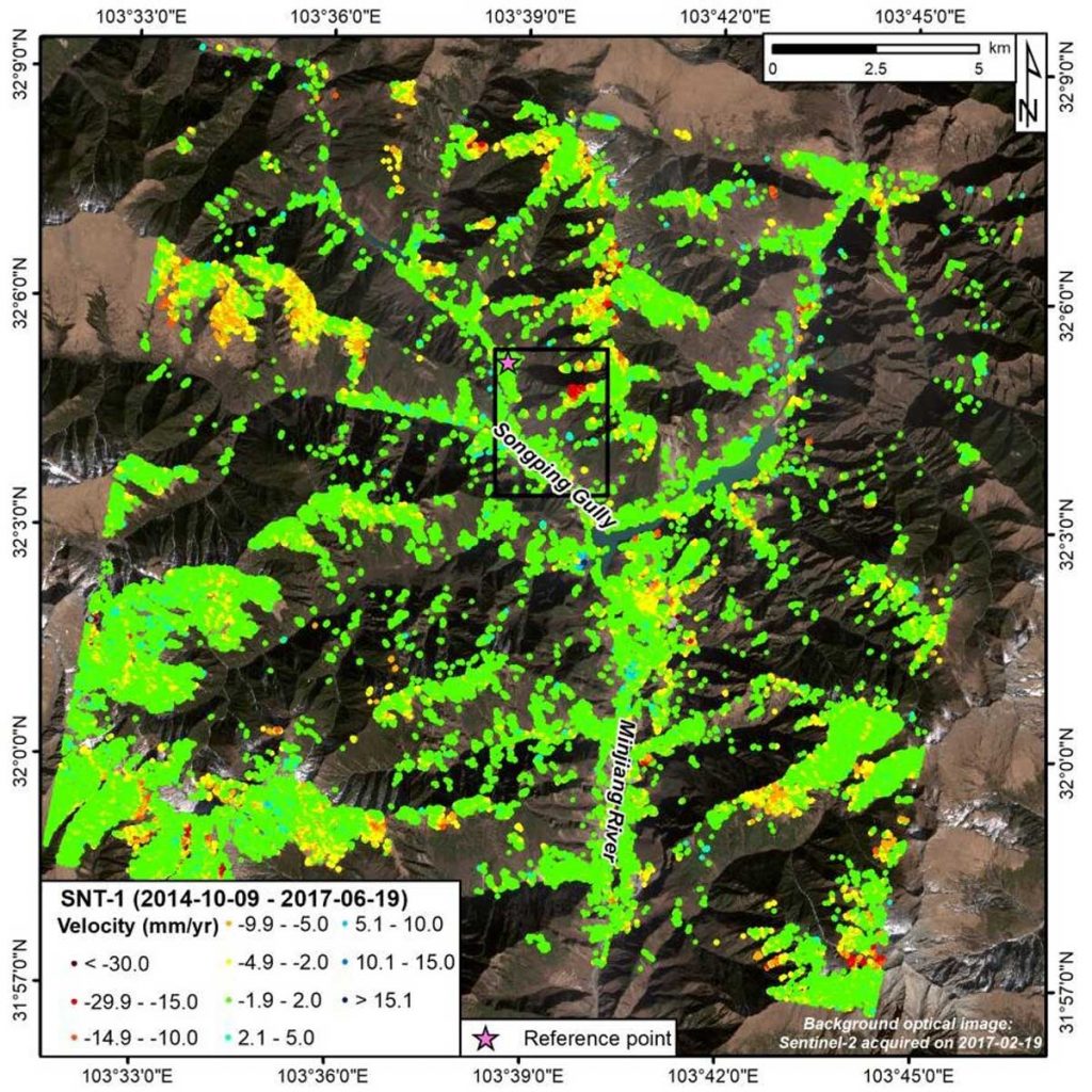
Satellite radar images have been used to predict and capture the early warning signs of impending natural disasters.
There have been several notable natural disasters in 2022. Starting from tsunami in Tonga to the dramatic rockfall in Brazil. These caused great loss of human life and taking a toll on the environment.
University of Melbourne researchers have developed a data-driven prediction method. That will provide better forecasting of location and geometry of impending landslides.
Scientists have used machine learning to identify the most common and unique characteristics of landslides captured from satellite data. Scientists built a new prediction model that can accurately identify the location of impending failures.
Lifesaving technology
Scientists’ intention behind this technology is to prevent loss of life by mitigating the risk of disasters. It is like some of the recent land failures we’ve seen around the world.
Scientists have relied on high-resolution radar technology to detect slope movement. This is useful for mining companies but not feasible for at-risk communities or for covering large areas.
Early warning a key
Scientists pinpointed the location of an impending land failure. Scientists used newly discovered information on rock failure and applied mathematics. The present model can identify the location of the imminent land failure. This provides early warning to communities at risk.
The satellite captures early signs of an impending failure. Scientists know how to extract information efficiently from the amount of data.
This tool can pinpoint the impending failure of a location. This kind of early warning is crucial to alert and evacuate communities.
A global effort
By using satellite data, the tool can be used anywhere in the world. In countries that are at higher risk of landslides.
Helicopter surveys of the unreachable site in Stromboli Volcano helped prove the tool can predict rockfalls from space with pinpoint accuracy.
Climate change geohazards
The predictions from this model can also be used in the continued monitoring and management of future of climate change-induced geohazards.